Wonderland Trail YoY(o) August/2024
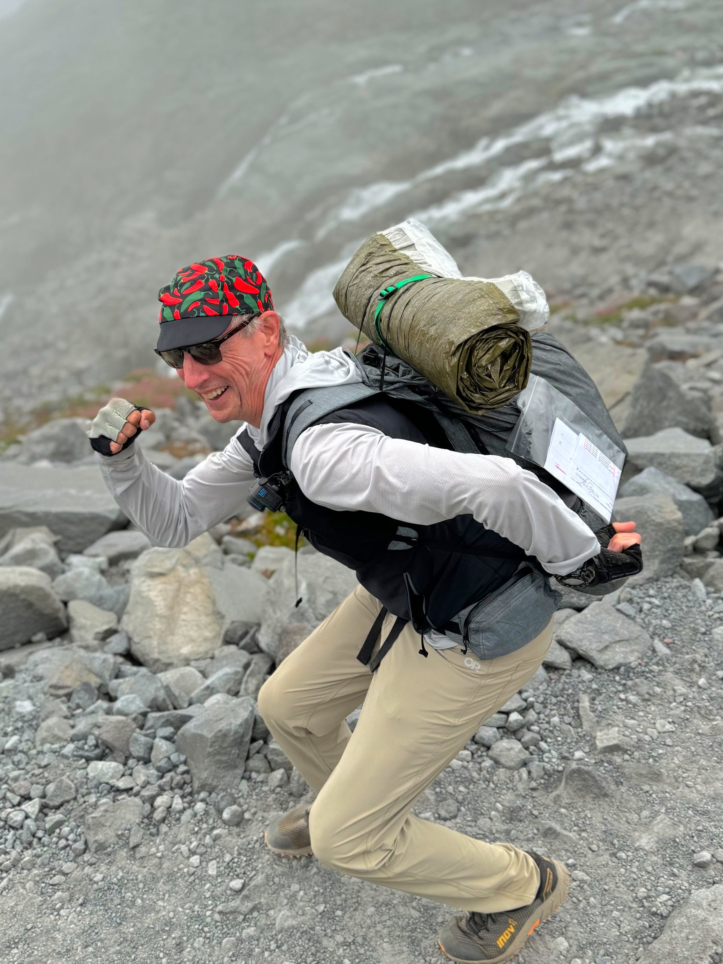
Willis Wall under a 13 lb load (utilizing a Blizzard Survival Tube)
Why the strange title? Well, the first “Yo” went well, starting from Longmire and proceeding CCW, finishing Wonderland Trail #36. However, weather was wonky and I delayed my permit an extra day hoping for a better forecast. Didn’t happen, as the second “Y(o)” had to be cut short after the second day (2/3) of a CW circuit. In sum, when one is hiking in rain and continuous wet weather, trying to cover 30 miles with no chance to stop and dry out the feet, well…I ended up at White River with macerated heels and blisters forming. Although physically I was good for the last day, the condition of my feet was not prime for a 33 mile day in continuing wet conditions. I pulled the plug and got a ride back to my vehicle in Longmire from a buddy who was camped at White River. My new plan was to return in better weather and complete that last section, White River to Longmire, to complete Wonderland Trail #37.
THERE ARE TWO VIDEOS AT THE END OF THIS POST FOR WONDERLAND TRAIL HIKES #36 AND #37
INTRO: I decided on attempting a YoYo this year, trying to capitalize on probably my best fitness level in some time. The foundation was laid by 2 years of consistent and targeted cycle training, culminating in my cross Pyrenees bike trip. Then it was 6 days hiking on the GR10, followed by a leg tuner on Mt. Rainier’s Western Loop. These activities put me in good stead to pull off two 3-day Wonderland Trail hikes, planned with one day of rest in between. I departed on the CCW loop from Longmire on August 14th.
Rare sun break in Ohanapecosh Park, Wonderland Trail
August 14: DAY 1 (36 miles/10,900’) I hit the trail at 5:30 AM. Although I never encountered rain, the skies were cloudy and offered just one momentary view of the tippy top on the mountain, just above Indian Bar. However, the day was dry and I enjoyed myself hiking this section, even the slight grind at the end of the day to Sunrise camp. I had lively encounters with hikers along the way and these conversational breaks fit into my schedule perfectly.
Carbon Glacier, Mt. Rainier National Park
August 15: DAY 2 (44 miles/8,900’) This was my longest day this year, but things went well and I was able to motor consistently to 2 AM. Most of the day I was hiking in the marine layer with fog and limited views, and eventually this presented my lower legs with the dreaded wet, overhanging soaking grass and brush. No amount of beating the flora with poles ahead can stop the infiltration of feet seeking moisture missiles.
Emerald Ridge, Wonderland Trail
August 16: DAY 3 (27 miles/6,100’) The wetness continued well into the afternoon, passing a socked in St. Andrews Lake. However, by the time I was climbing to Emerald Ridge, things had dried out for some nice views below the cloud layer. This respite from moisture came to a screeching halt with the crossing of Kautz Creek, a knee deep, short but rushing silt laden torrent. Thankfully this occurred before nightfall, as navigation through this area is not well marked. Although I have high familiarity with the trail, some of these river crossings change dramatically year to year so past reference is sometimes irrelevant and can actually lead me astray (“well, this is where it USED to be”). By the time I reached the dreaded sign atop Rampart Ridge announcing that there’s still 2 miles to Longmire, my shoes had at least stopped making squishing noises. Thankfully there was no damage to my feet. Another Wonderland was in the books!
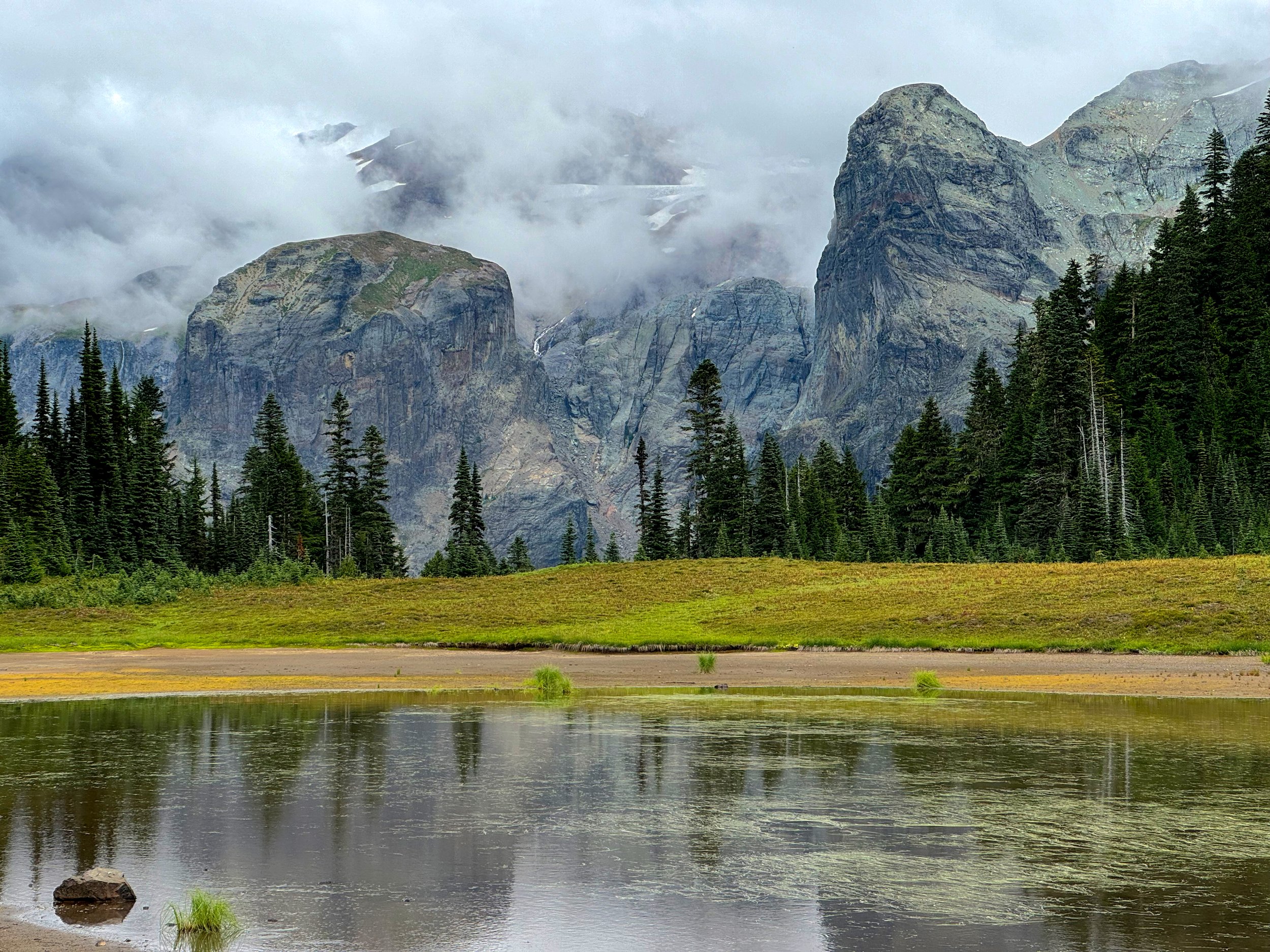
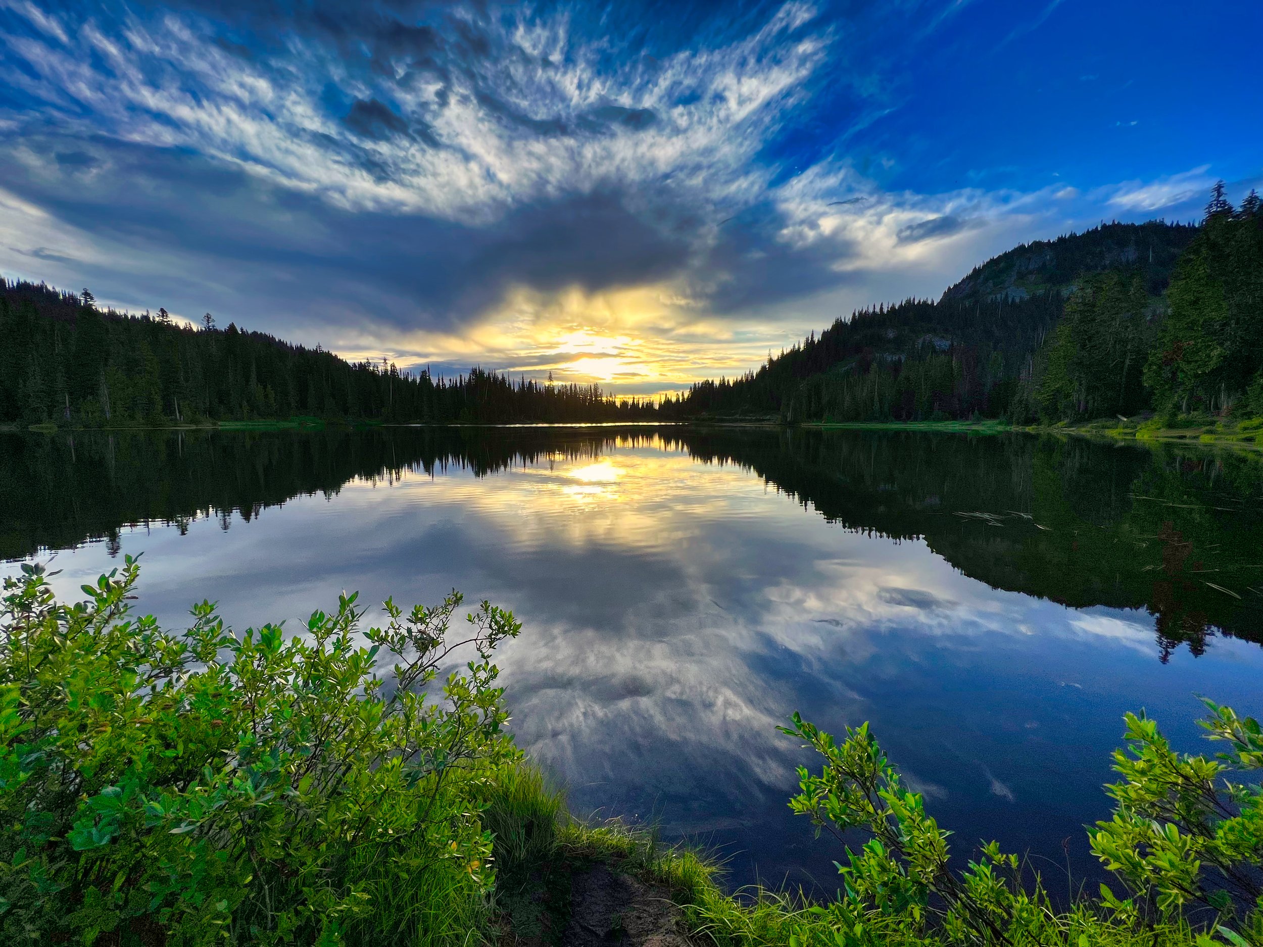
Sky reflection in Kiya Lake
August 19: Y(o)…DAY 4 (31 miles/8,400’) I left Longmire after two down days with the hopes that the weather would cooperate for the CW loop. This first day proved to be good, in that there was no rain. The lack of views of the mountain was not a deterrent to the cool views below the cloud bases. The skies were opening up a bit and I enjoyed a fabulous sunset at Golden Lakes, chatting it up with 4 men taking in the ambience after their swim. I bid them adieu and trotted off for the South Mowich River camp, knowing that it would be dark by the time I transited the Mowich River crossing. At least this time I knew where the bridges were from just a few days ago, and there were no problems making my way to the camp. I settled in at site 2 in my cozy bivy setup, and even woke to a moon shining through the trees early in the morning. It looked like it was going to be a good day!
Aurora Lake, Klapatche Park
August 20: DAY 5 (30 miles/9,200’) Sure, it started out OK, with a good temperature and dry conditions on the climb to Mowich Lake. I donned my Rocky Socks in anticipation of gross brush from Ipsut Pass. As I was talking to my video camera about how the only thing that could be worse than the wet brush soaking my legs, sometimes obscuring the feet grabbing wet rocks hidden beneath, would be if it were raining. Bingo! Here comes the rain, and once in the forest I donned all my rain gear, including pogies and rain pants, which I seldom wear (or pack, for that matter). I figured the rain pants would help dry my soaked pants underneath, and this proved to be true; body heat did the trick. But I can’t stand wearing rain pants and took them off at the bottom of the descent, figuring I’d rather just deal with wet legs. I didn’t take many photos the entire day as I was damp…all the time. Hiking in the middle of a cloud made for 100 foot views. I hit Skyscraper Pass while it was still light but turned on the headlamp at Frozen Lake, feeling the damage that was being done to my feet from being wet all day. The Rocky Socks work well, I’ve used them for years, but internal moisture builds up over 16 hours and maceration was taking its toll. When I arrived at White River I knew I could not continue with the blisters that had started to form, especially over 33 miles and another wet day. I had to call it. A buddy of mine was there and the next day he gave me a ride back to Longmire.
Mystic Lake; typical views for most of day 5 of my YoYo attempt
The crappy weather plaguing the area finally came to an end with a good forecast from August 28th on. I made my plans to finish off that last section and drove to the park on Tuesday, August 27th and secured 4 nights at Cougar Rock Campground, which is just shy of two miles from Longmire. I walked down to Longmire on the Wonderland for a coffee stop and WiFi check, which technically covered that last bit of the Wonderland that I would miss by being at Cougar Rock. The plan: bike from Cougar Rock the next day to White River, get some sleep, and hike that final section from White River to Cougar Rock the following day.
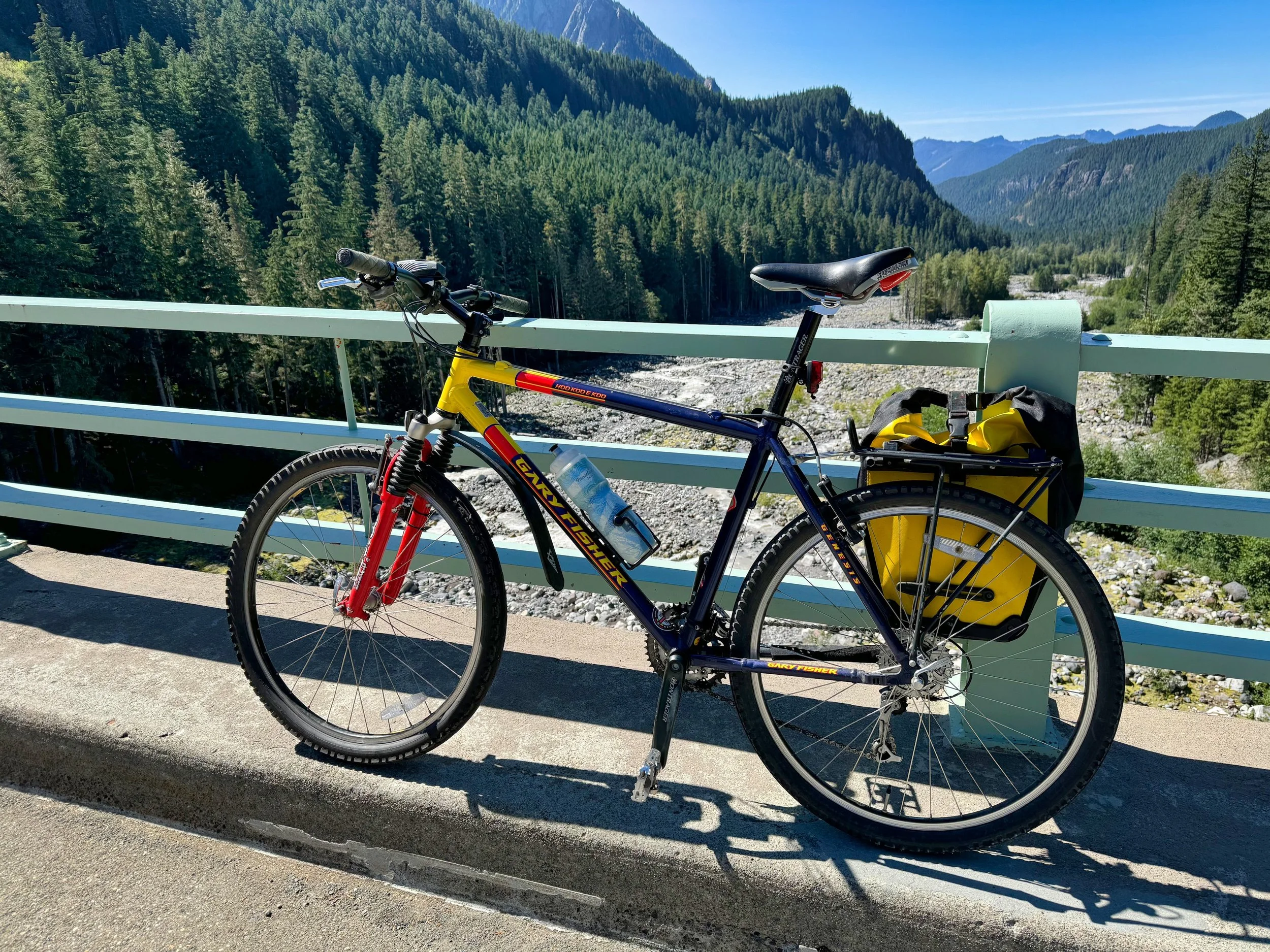
My vintage mountain bike used for positioning from Cougar Rock campground to White River
August 28: Positioning DAY (47 miles/5,600’) Timing was a factor for this bike trip; I did not want to be on the roads after dark, plus I did not want to be entering the White River entrance before the 3 PM timed entry cutoff. Bicycles are exempt from the timed entry, but it is uncool to ride to the head of the line and I didn’t want to spend time in a queue. Therefore I slept in and left at 11:30 AM, figuring it would take about 6 hours to cover the distance based on prior experience (RIMROBOD). I was using my vintage Gary Fisher mountain bike (for leaving in the woods) and I had the extra weight of minimal overnight gear and 2 days of food. The timing, however, was spot on and I entered the park around 5:30 PM. After finding a suitable spot shy of White River where I could park (for the retrieval) and stash the bike, I walked up to White River. Thumb twiddling and napping ensued until I finally set off just past 4 AM for the hike.
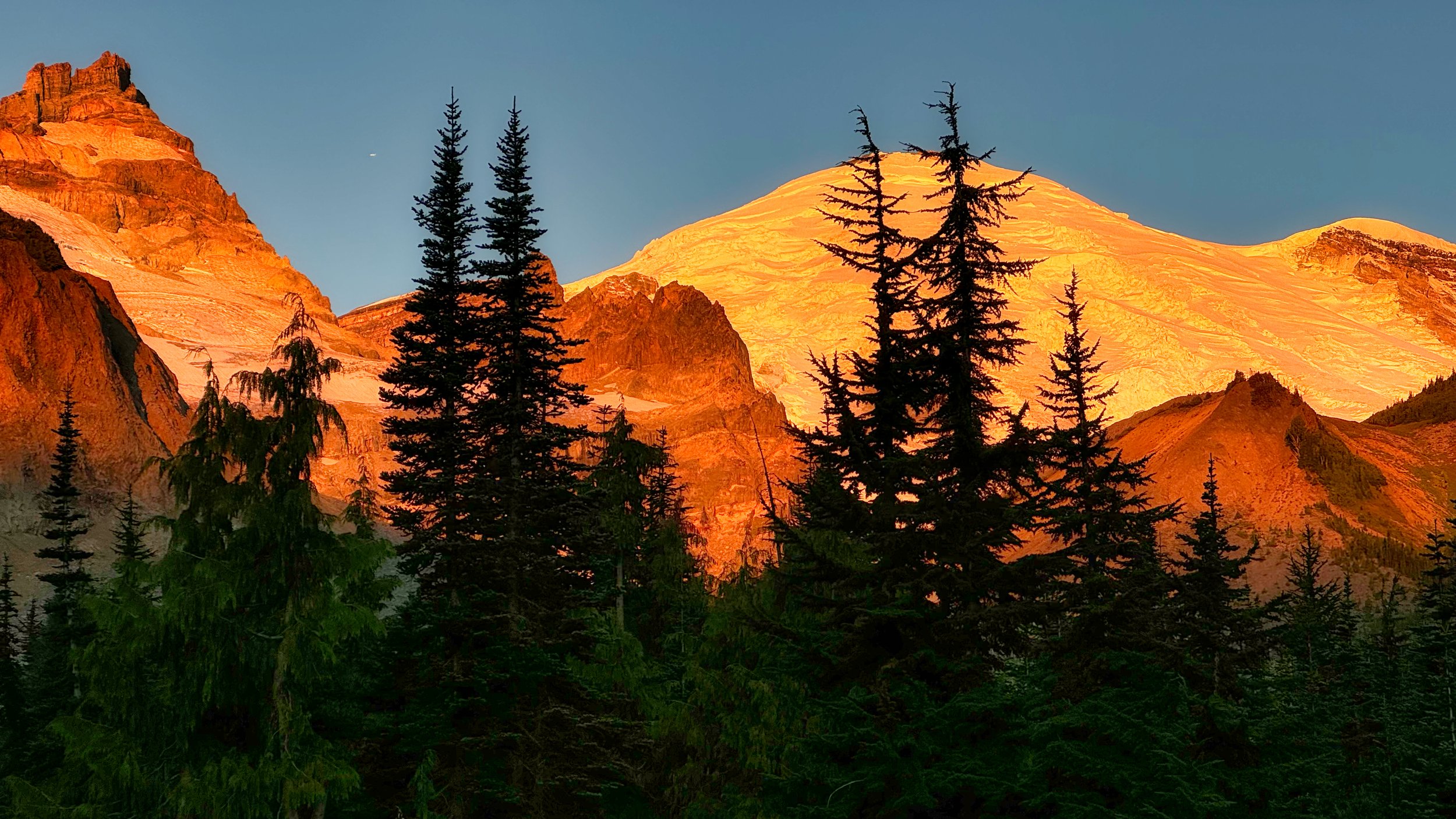
Morning alpenglow at Summerland
August 29: White River to Cougar Rock Campground (31 miles/7,300’) What a difference gorgeous weather makes. DRY feet, crisp air, alpenglow and sunrise. I was closing in on Summerland around 6 AM with the mountain dressed in pinkness, revealing just a little more as I climbed higher. No one was astir, so I had the views to myself. I’ve always maintained that some of the best experiences on the trail are those off times, early and late, when most backpackers are in their tents. The sun was finally cresting when I went over Panhandle Gap, and my transit across Ohanapecosh Park was sublime. This was making up for all the misery and wetness I had experienced prior, and it was still morning! Essentially I breezed through the day, my legs hardened with all the elevation gains and losses accumulated over the prior month, both on trail and in the saddle. I hiked the portion between Maple Creek camp and Reflection Lakes with a newfound trail buddy, Sarah. This distracted both of us from the long climb involved in that section, and Sarah was glad to have me along for negotiating the bypass of the recurring washout area. We parted ways as she departed for Snow Lake; the only downer after that were the scores of people ignoring the ropes at Reflection Lake and tromping all over the shoreline. Otherwise, my earlier prediction of arriving before dark was spot on, ending with me having at beer at my camp spot picnic table whilst waiting for the hot water to gin up in the van, done at 7:15 PM. I had Wonderland Trail #37 in the books, albeit not exactly according to my YoYo plans. Nevertheless, this was truly one of the most interesting outings I’ve had in the park, for many different reasons. Happy Hiking everyone!

