July 25, 2014
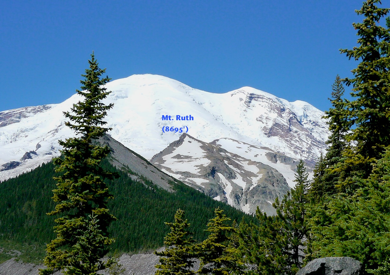
My daughter and I just did the first of the 7Up series, the Mt. Ruth-Burroughs loop. This hike starts and ends at White River campground and entails approximately 17 miles of hiking and 5900 feet of elevation gain/loss, plus much of the hike is off trail.
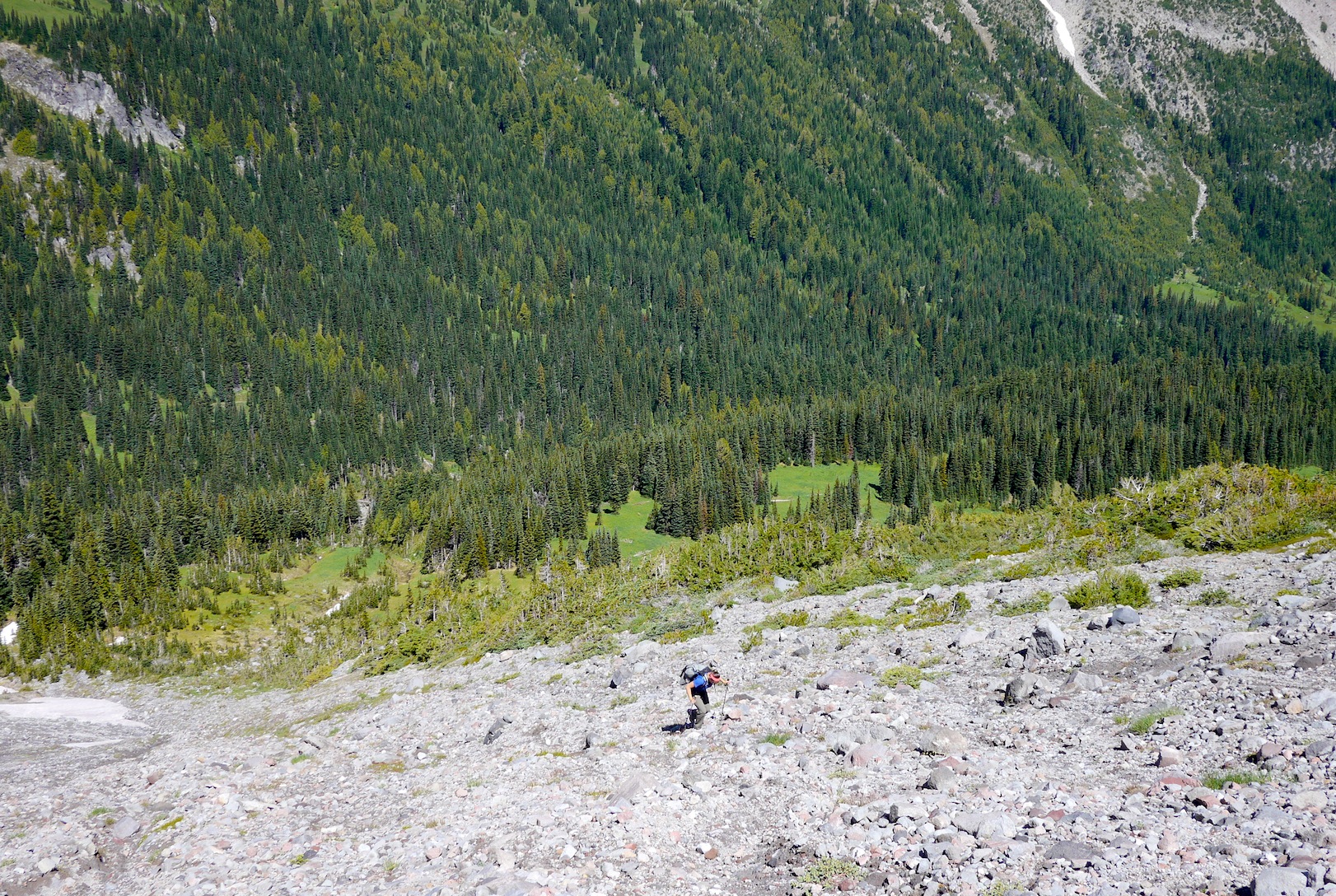
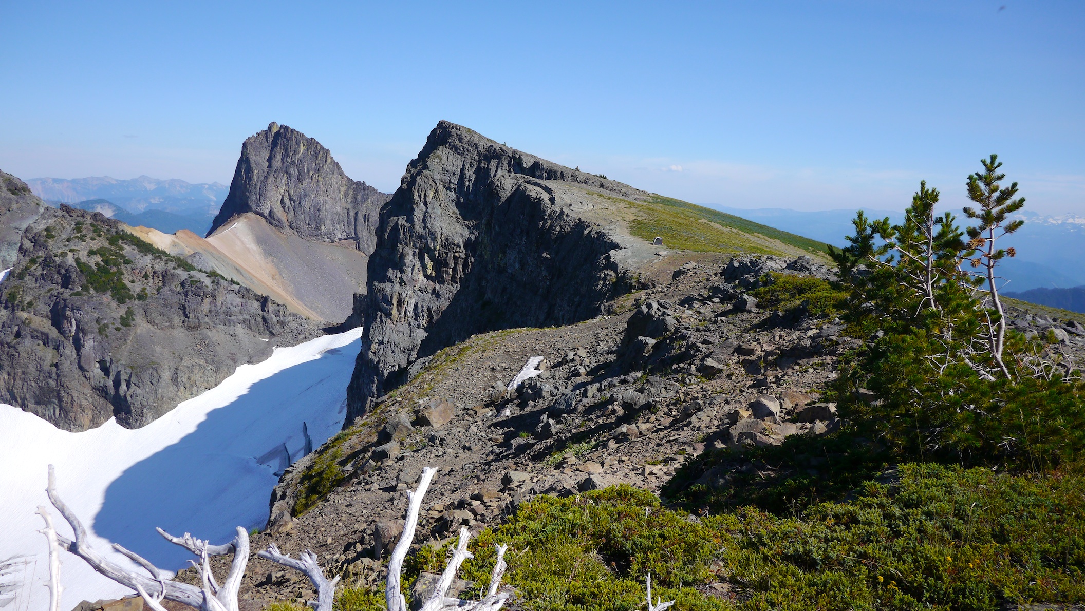
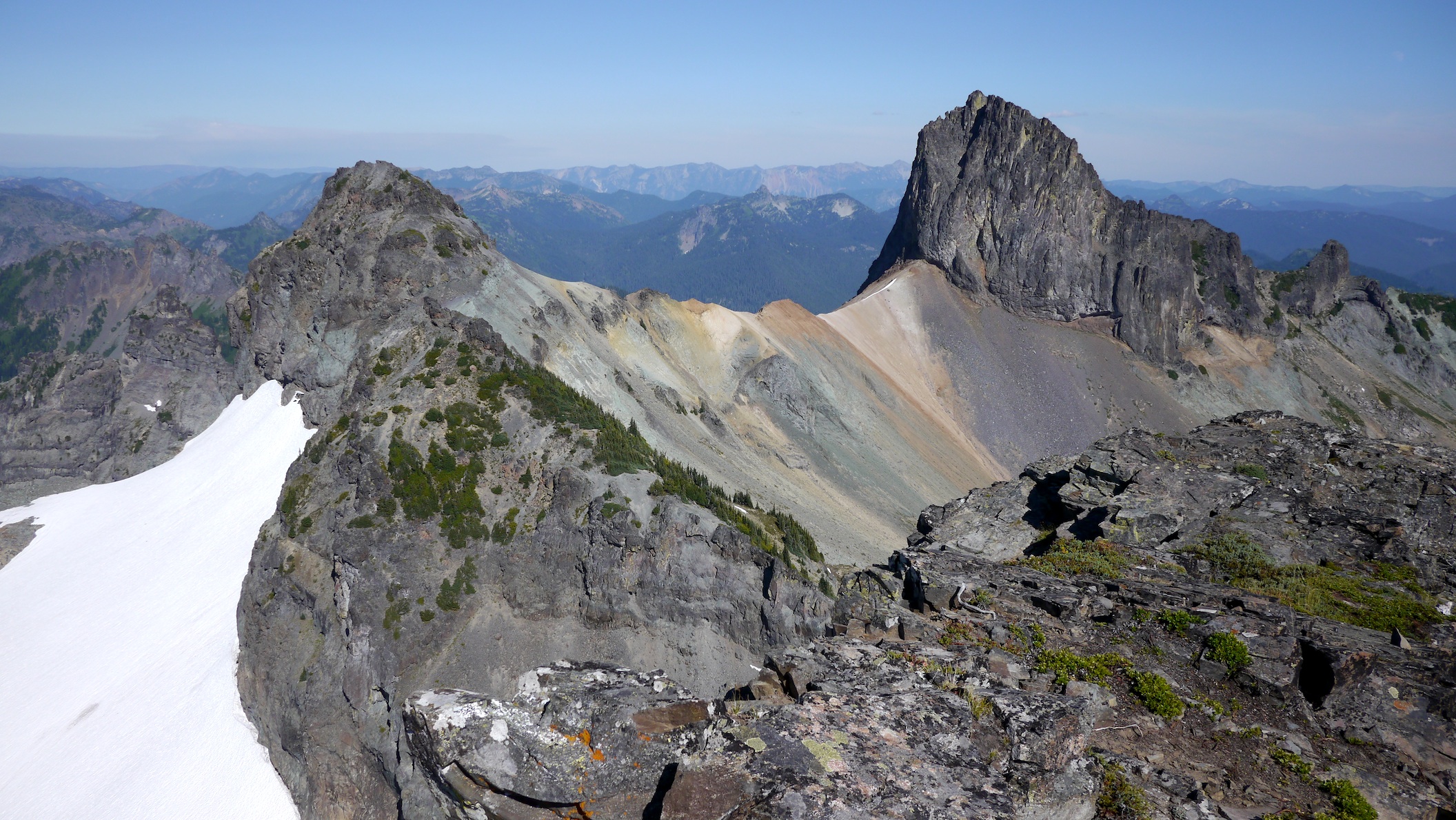
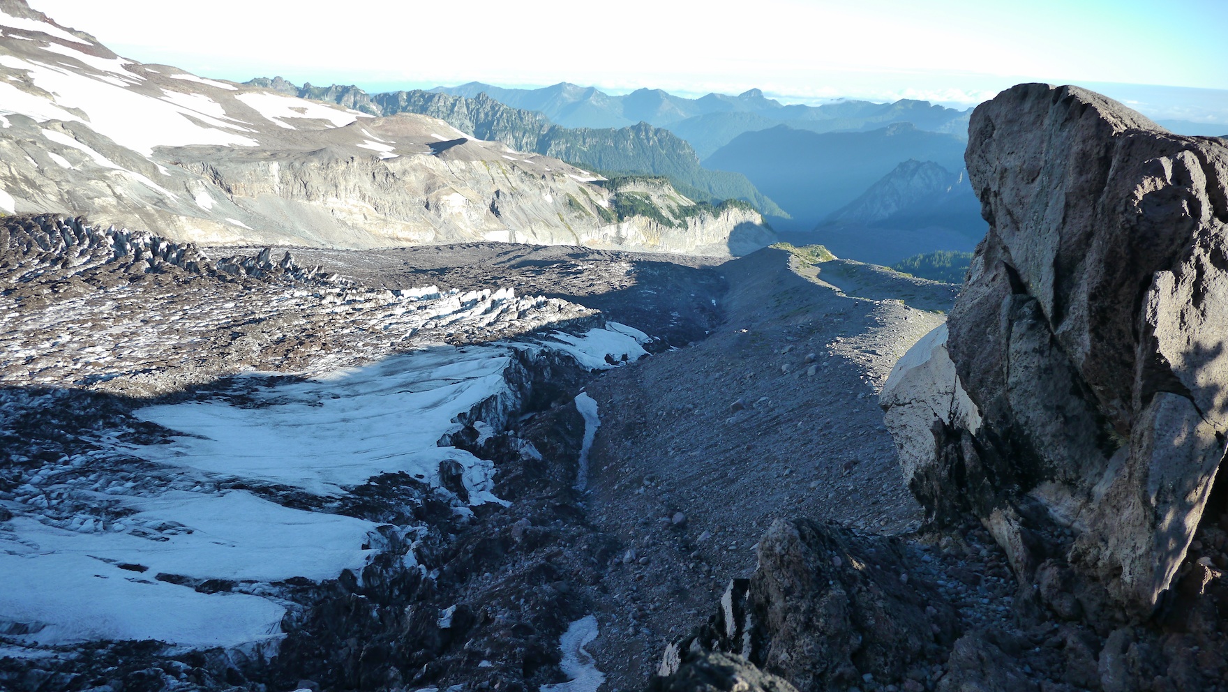
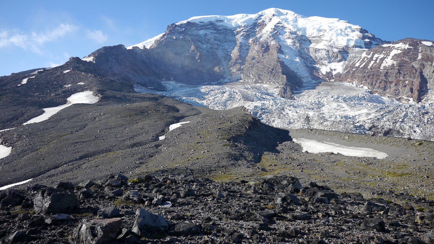
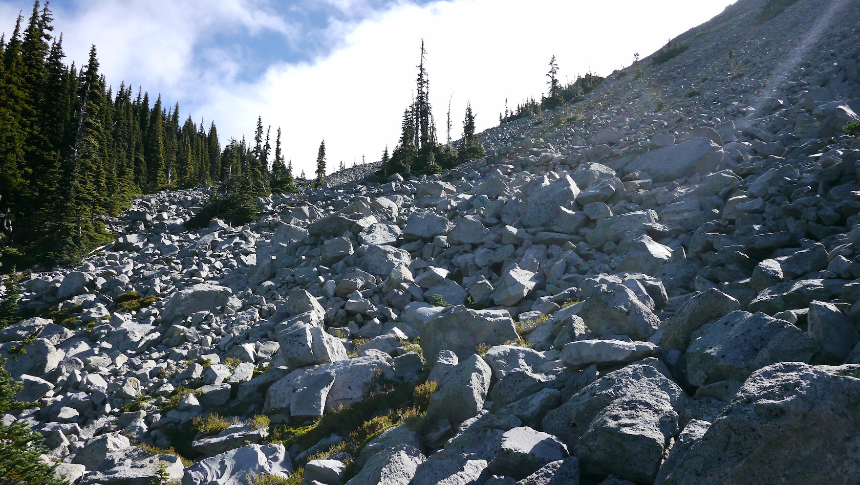
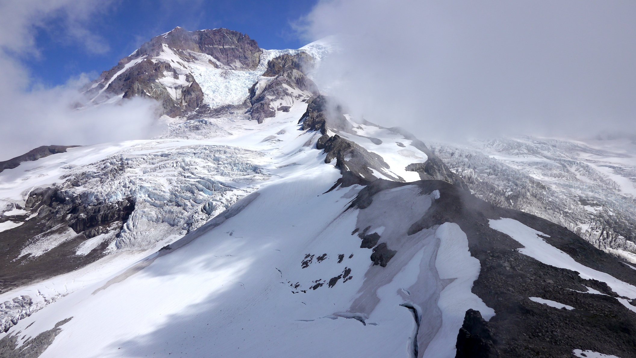
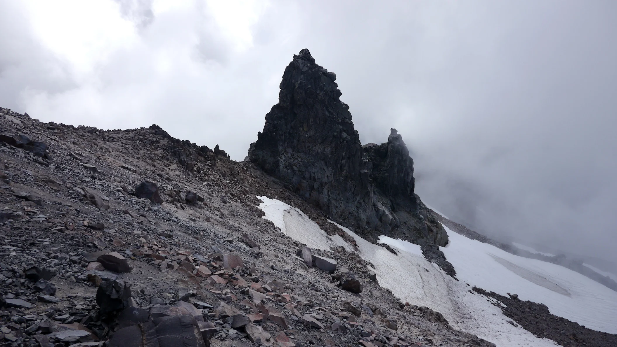
Description: We hiked the Glacier Basin Trail for .9 miles to the intersection with the Emmons Moraine Trail, taking that to the end. A tread continues past the "end of maintained trail" sign into the forest, gradually dwindling until we were basically on our own. Navigation is relatively straight forward as the Inter Fork of the White River stays on your right the entire time. Eventually we needed to climb up the steepish forest grade (left) until it eased and deposited us into a meadow. From this point navigation was easy as the ridge we needed to acquire leading to Mt. Ruth (elev 8695') was in sight and it was merely finding the best line to attain the ridge crest. As we climbed higher to the ridge fantastic views of Glacier Basin and our later peaks (Burroughs Mountains) filled our view, with distant ridges and peaks appearing over the horizon with every step up. As we made our way to the ridge proper we stepped lightly over small grasses and flowers until on an obvious tread. Here's where eye popping views towards Little Tahoma and the Emmons Glacier elicited gasps and audible "wows!" from both of us, while glancing right was the ridge making up the north side of the basin that houses the Inter Glacier and Steamboat Prow at its zenith. Tiny specks on the Inter Glacier, otherwise known as climbers, gave scale to the terrain all around. This time of year and beyond sees the Emmons losing its top coat of smooth snow, revealing the yawning crevasses and ice towers, truly a spectacle. As we got closer to Mt. Ruth an obvious choice of veering right, then left up an easy ridge avoids the steeper and crumbly looking east ridge of the peak. The summit is comfortable for lounging and taking in the panorama, something we never tired of. Eventually, however, we needed to get moving so retraced our steps to an obvious tread leading straight down to Glacier Basin. Straight is the operative word here, losing no time with the descent off the ridge until we found ourselves on more level terrain and perusing old mining equipment abandoned decades ago. The last hurdle in this off trail travel was crossing the Inter Fork of the White River, which by late afternoon on a warm day is flowing mightily. It isn't very wide, however, and eventually our scouting found a place to cross that only soaked us up to our knees but rewarded us with numb feet and toes, a real refresher after the day of hiking up to this point. In keeping with my trip criteria, the rest of the hike is on trail, allowing for encroaching fatigue and sleepy minds, a familiar state for both of us. Back on the Glacier Basin Trail, it's a short .7 miles to the intersection with the Burroughs Mountain trail which had us climbing from 5600 feet back up to 7400 feet, the summit of Second Burroughs. My original plan was to pop over to Third Burroughs first (7828') but we were enveloped in cloud and just didn't see the point. Finally, at Frozen Lake, we turned on our lights and on tired legs made our way back to White River campground via Sunrise. This trip didn't disappoint, and favors those who venture higher and off trail with views of Mt. Rainier that will take your breath away.