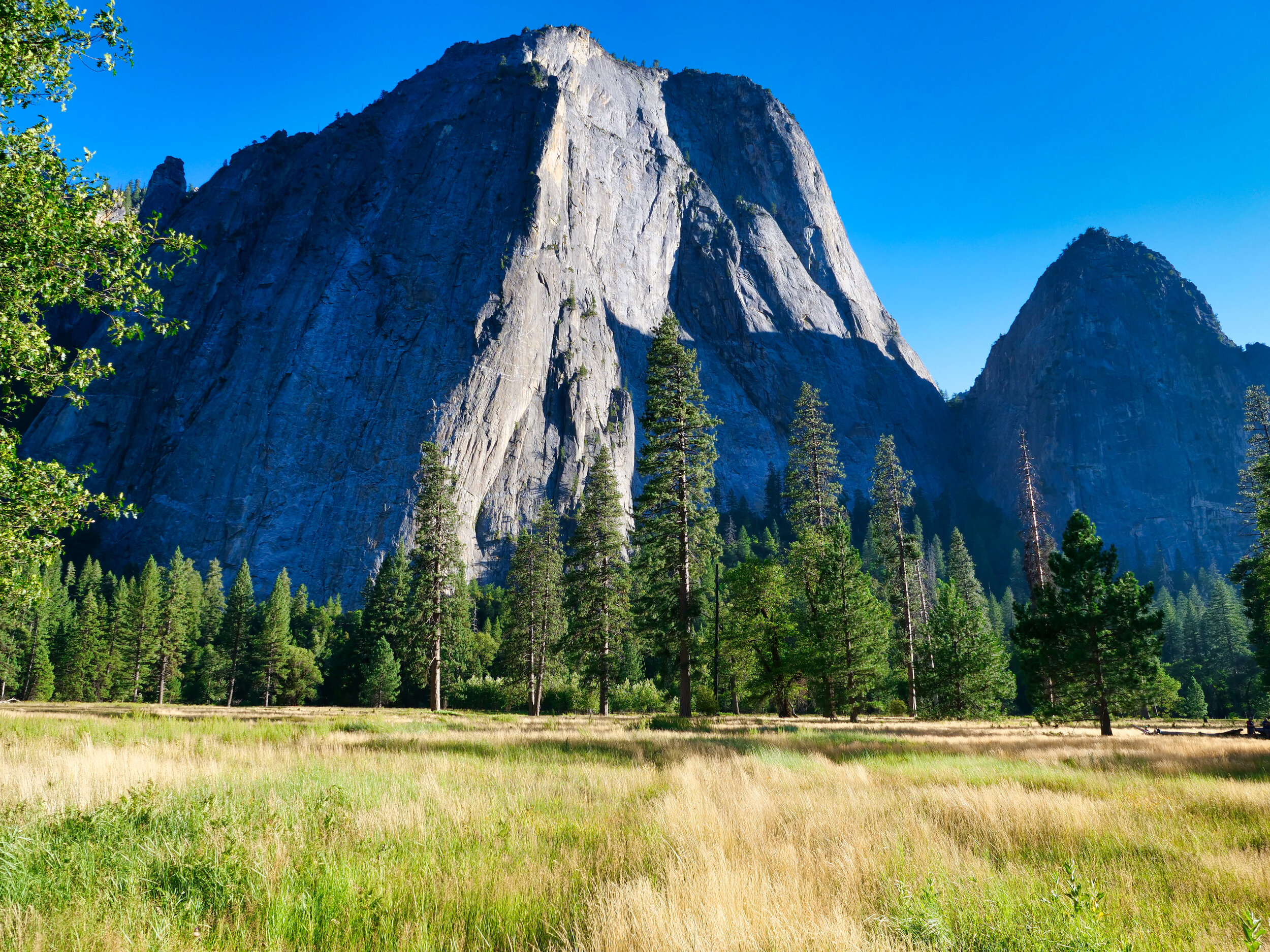
Olympic NP: Upper Lena Lake 9/3/2020

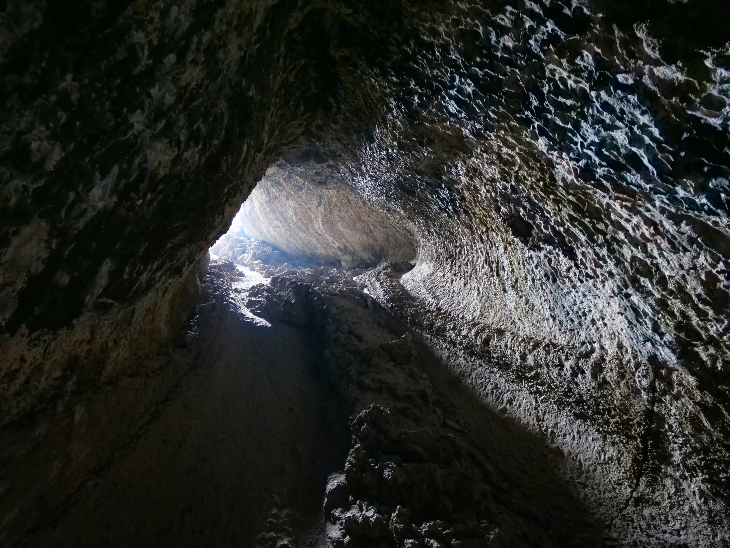
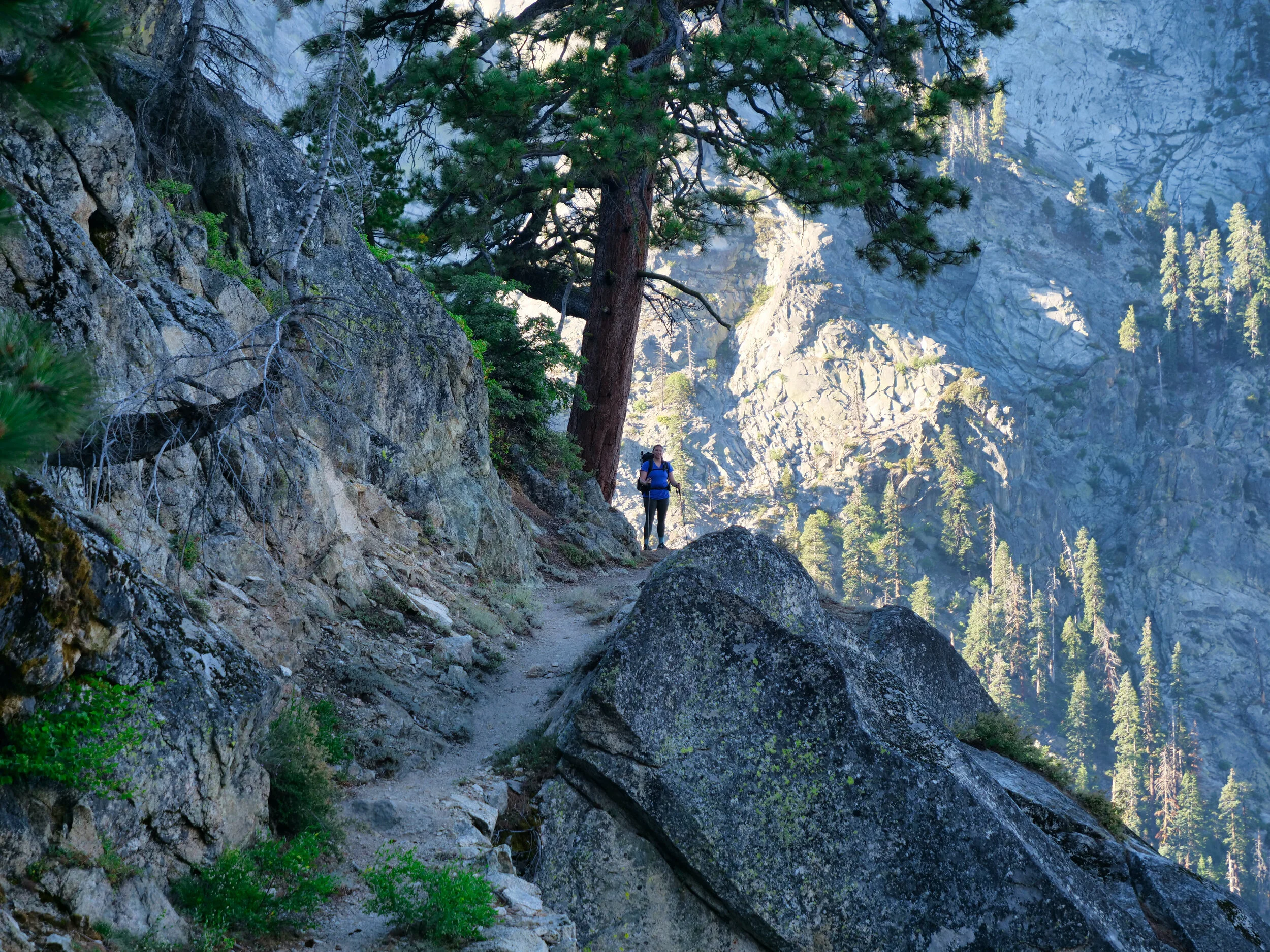
A section of the “trail”
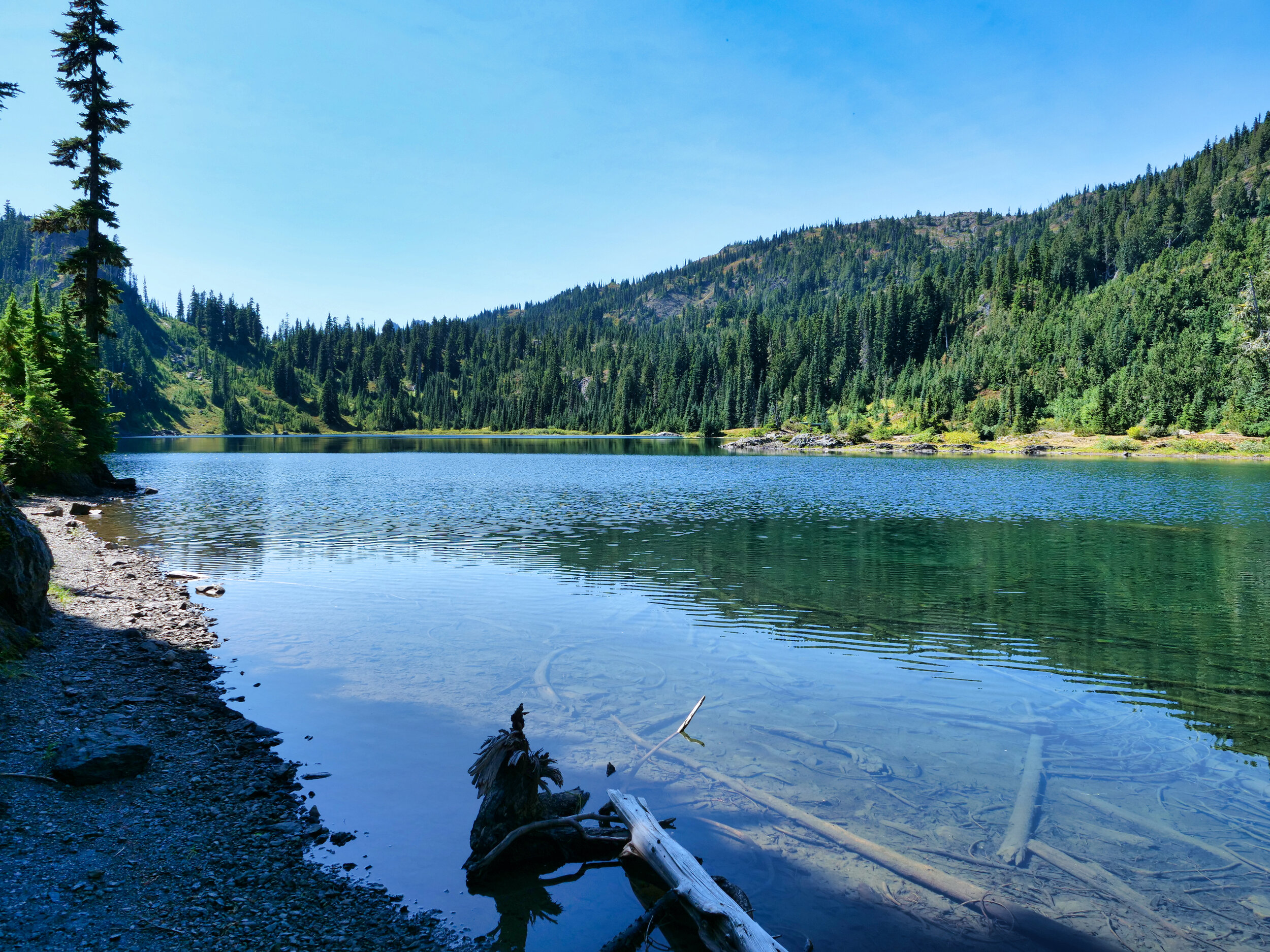
I am hanging (parking) with a few friends over on this side so decided to do a hike whilst here. I was in Brinnon for a couple of days and the Lena lake trailhead was a short distance on good road. I had been here back in 2012 with my daughter doing the marmot survey...we camped at Upper Lena Lake and staged everyday out of there. It was a pleasant time with pleasant weather. I kinda sorta remember the trail being a bit tough but it was driven home this time. The topography dictates the limited places a trail can go here, especially on the last mile or so. The trail to Lena Lake is on NFS land but as one climbs to Upper Lena, you pass a NPS boundary sign. Sometimes very steep, rocky, rooty, brushy, and wet...with blowdowns. Don't misunderstand, it was, after all, a trail and not cross country. Most of the time. But once on the quest, there was no turning back, so I endured to the lake, had a nice snack, refilled my bottle and beat feet. I ran into 4 backpackers who were surprised at the condition and ruggedness of the trail, especially carrying large packs. On the way down I came upon a solitary day hiker who told me she had to turn around due to heart arrhythmia. Since we were near the regular Lena Lake trail I stuck with her to the parking lot, just in case she needed assistance (I had my InReach). Although having to stop just a couple of times, all was OK and she had a relatively short drive to her home in Olympia (she was a semi retired nurse). Now I'll just chill with the rear doors open to the water this weekend, as the influx of cars to the peninsula was astounding on Friday. I'll save further hiking for next week and beyond. Stats: 16 miles/4200'

Dewdrops on Fungi